
Bethany Neighbors by Address
The public block method starts with land records. A Bethany address can lead to a parcel account, legal description, nearby parcels, and a deed or plat trail. Those sources establish property facts. A voter record is much narrower and requires a known full name and date of birth. Civic groups can identify a public organization or a volunteer program, but they are not a citywide list of neighbors.
Use the source that fits the question. The assessor and GIS map answer where parcels lie and who is named on a tax record. Deeds and plats explain title or subdivision history. The city’s permit and code file can document an address-related project through a records request. Each route has a different access boundary.
| Block source | What it can show | Access boundary |
|---|---|---|
| Assessor and GIS | Parcel shape, owner, account, legal description, map layers | Free public search and map; confirm each parcel |
| County Clerk deeds and plats | Common addition, lot and block, title sequence, easements | Index and copy rules apply |
| Citizenserve address file | Construction, alteration, planning, inspection, or code activity | Account portal; underlying public file request |
| EDW voter file | Qualified list-level registration fields | Restricted request, not a public block browse |
| Library and OHS directories | Historical address or street-index evidence | Library, Research Center, or licensed access |
| Civic and HOA pages | Public group context or contact route | Member information is not a public directory |
Note: A parcel result identifies a property relationship, not every person connected with an address.
Bethany GIS Block Layers
The current Oklahoma County Assessor GIS viewer is the map side of the property trail. Search by owner, physical address, account, or a centerline and intersection, then turn on the layers that explain the location. County materials document parcels, city limits, school and political districts, floodplain and contours, hydrology, aerial imagery, and property-history or tax links. The live labels and controls can change as the ArcGIS interface changes.
Aerials can show the physical setting, while a city-boundary or ward layer can show jurisdictional context. Neither settles ownership or a legal boundary. The map is not a legal survey, so use the recorded legal description when title, lot, or boundary precision matters. ODOT’s city map is a useful street-grid check before comparing an older address with a current parcel.
When a click opens a parcel, compare the map label with the account details in the Assessor Public Access System. Record the account and legal description before moving outward on the block.
Mapping Bethany Neighbor Parcels
A small area is more reliable than a broad radius. Locate the known address, zoom until parcel lines are visible, and select the subject parcel. Write down its account and legal description. Then click the polygons that share a boundary or front the same street. If the viewer exposes a selection or buffer feature, use it only to identify parcels, then inspect each one separately. A map buffer is not a list of human neighbors.
- Search the known Bethany address in the GIS map and verify the subject parcel.
- Copy the account, legal description, subdivision, and any distinct lot or block information.
- Click adjoining or same-street parcels, then verify each account in the assessor record.
- Use the legal description and deed reference for a title question, rather than assuming a map label answers it.
The path is address to parcel, parcel to account, account to legal description, then legal description to the recorded land trail. For a complete named-street sequence, use the Bethany street directory rather than treating an immediate-block check as a full street search.
Bethany Deeds and Plat Clues
Adjacent lots can share an addition, block, or plat even when the street numbers look unrelated. The Oklahoma County Clerk’s OKCC.ONLINE portal offers grantor, grantee, address, instrument, book and page, document-type, PID, and advanced searches. An address string is an index convenience. The legal description, lot and block, subdivision, instrument number, or parcel identifier is the safer way to connect a parcel to its recorded title trail.
Start from a current owner as grantee or either party, then narrow by Bethany address, legal description, or date. The resulting instrument number, document type, recording date, book, page, grantor, grantee, legal description, and reference number help identify the next record to review. Search a seller as an earlier grantee when tracing ownership backward. A release, mortgage, or quitclaim should not be assumed to be the purchase deed.
The OHS plat index includes Bethany among more than 3,400 subdivision and plat entries. It can bridge an old addition name or lot description to the current map, but the recorded deed and plat remain the controlling title sources.
Bethany Voter Lookup Limits
The Oklahoma Voter Portal cannot search by Bethany street or block. It requires last name, first name, and date of birth for a single registration verification. A match can return registration and district information, but it does not expose ballot choices or turn a parcel map into a household roster. Use it only to confirm a lawfully known individual after the parcel or other record has supplied a reason to check.
Qualified people and organizations can seek a full voter file through the EDW voter-list request process, which is free but requires an authorization category, attestation, and compliance with statutory limits. The public portal remains separate from that restricted request route.
Restricted Records and the Address Confidentiality Program can withhold or substitute addresses. A name may remain in a precinct registry without an address, and an ordinary search failure does not prove that a person has left Bethany.
Bethany Permit Address Files
Bethany Community Development handles planning, permits, inspections, code compliance, and business licensing. Its official department page directs applications through Citizenserve, where applicants create an account, upload documents, monitor a status, and receive updates. The research did not find a public permit-result browse. A visible application route is not evidence that the underlying project file is broadly searchable online.
For a dated address question, request the actual public file from the city rather than guessing from a map symbol or construction activity. Permit material can identify a project, scope, inspection, or application context, but a listed applicant or contractor does not establish who lives at the property. City administrative records follow the Oklahoma Open Records Act and may contain protected personal information or other exceptions.
Bethany Civic Neighbor Groups
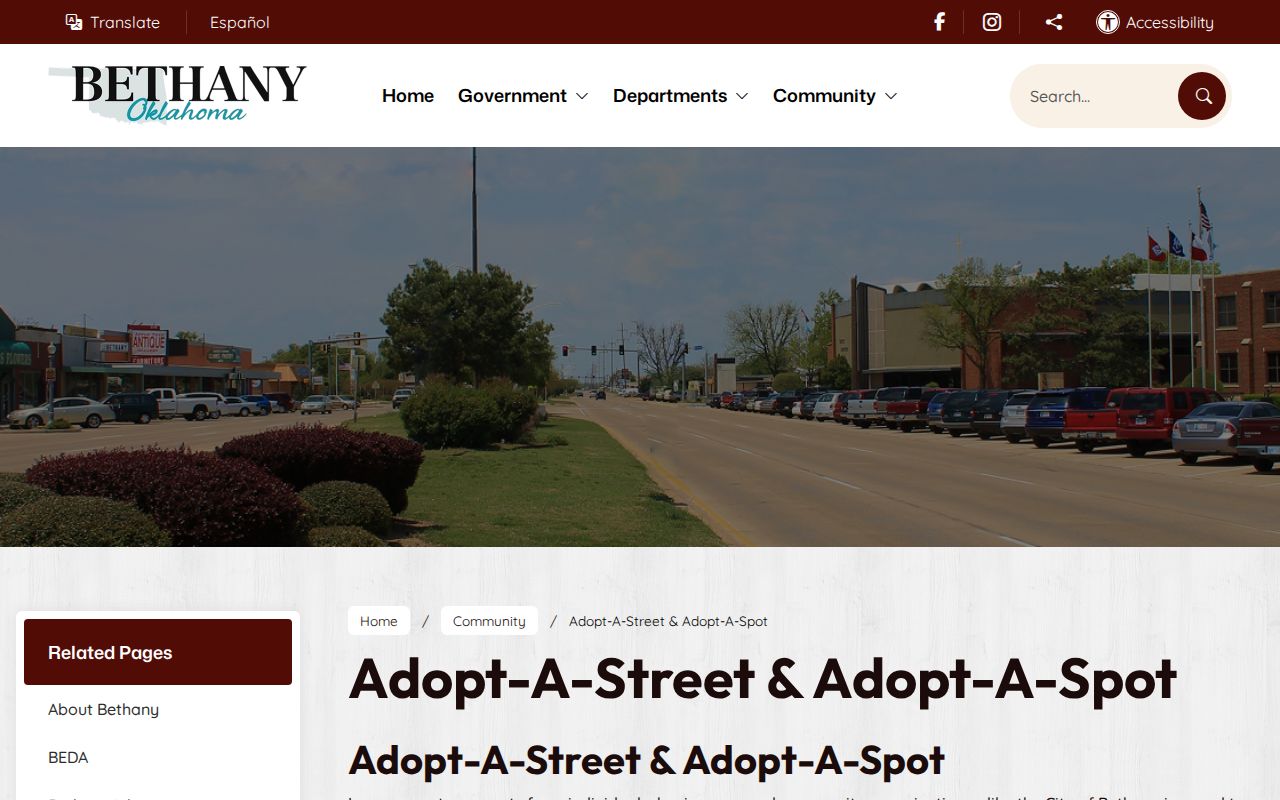
Public community pages can add civic context to a Bethany block without turning private membership into a people list. The city’s Adopt-a-Street and Adopt-a-Spot program lets groups or neighborhoods adopt a half street, full street, median, or spot for two years and asks for at least three cleanup days each year. That creates a public group-and-area connection, not a roster of home addresses.
See the Bethany Adopt-a-Street and Adopt-a-Spot program for the city’s published civic-participation details.
Adopt-a-Street
City-coordinated volunteer program for a stated area and cleanup commitment. It is a civic clue, not a member directory.
Lakeview Estates
Lakeview Estates Neighborhood Association is a volunteer group in western Oklahoma City between Bethany and Yukon. It should not be treated as a Bethany-wide group.
County District 2
Oklahoma County District 2 includes Bethany and provides county-level community resources, not neighborhood membership.
Parc Bethany Neighbor Context
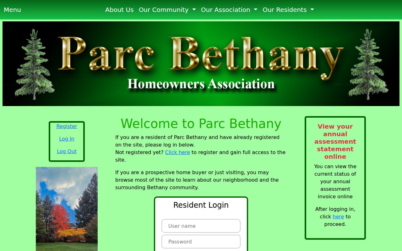
Parc Bethany provides a useful example of the difference between public neighborhood context and private member information. Its public pages welcome prospective visitors and describe the community. Registration and login control fuller member information and assessment statements. That boundary matters when researching Bethany neighbors: a published officer, community description, or contact route can be useful, while private resident details should remain private.
The Parc Bethany Home Owners Association site is the appropriate public source for that limited context.
No official City of Bethany umbrella directory of all associations, HOA contacts, block-watch rosters, or member lists was located in the research. An organization page should be read only for the information it actually publishes.
Bethany Blocks After 1930
Built-environment history can explain why a block’s older record trail is uneven. On November 19, 1930, an F4 tornado devastated part of Bethany and killed 23 people. Later plats, deeds, Sanborn maps, newspapers, historic photographs, and permits may therefore describe rebuilding or a changed streetscape rather than a continuous set of structures. Treat that history as context for a parcel and address, not proof about any named person.
For a historical block, pair the legal description with the city-directory street index, newspaper notices, and the assessor or deed trail. The Metropolitan Library System and Oklahoma Historical Society house-history guidance recommend moving back and forth between an address and a name, instead of relying on one present-day street number.
Bethany Neighbor Privacy Limits
Official parcels, deeds, and civic pages are not a complete resident roster. Utility and delivery records are not ordinary public block sources. Driver-record personal information is restricted. Protected voter records, ACP addresses, sealed court material, medical information, financial account numbers, and protected details in recorded documents require special handling or are not available for an ordinary search. Do not fill a gap by guessing who is connected to an address.
A comparison helps keep the method honest: official sources tie a fact to a custodian and date, while commercial compilation tools can mix public, marketing, self-reported, and purchased data. The latter can merge same-name people or show stale address material. Community pages provide public organization context, not proof of a person’s connection to a home.
| Source type | Best use for a Bethany block | Key limit |
|---|---|---|
| Official parcel and deed records | Property, legal-description, and title questions | Owner information is not a full household list |
| Official voter verification | Confirming one known registration match | No public street or block browse |
| Public civic organization pages | Group context and contact routes | Private membership remains outside the record |
| Commercial compilations | None as an official record | May be stale or join the wrong people |
Lawful use. Use Bethany block records for personal, lawful research and civic context. Do not use names, addresses, or map details to watch, harass, intimidate, or harm anyone.