
Bethany Previous Residents by Era
The backward trail changes with the date. Modern parcel, assessor, and clerk material provides a route from a current legal description to recorded instruments. Historical directory and census material can identify a household at a point in time. Newspaper, obituary, funeral, and probate collections can close a historical connection. None of these sources is a full roster for an address. The useful practice is to write down the source date, the address form, the legal description when available, and exactly what the record establishes.
| Source | Years It Covers | Where Held | What It Shows |
|---|---|---|---|
| County land records | Territorial-era and 1890s history to present; online cutoff changes | Oklahoma County Clerk, OKCC.ONLINE, and physical books | Instruments, legal descriptions, plats, liens, and title trail |
| City directories including Bethany | MLS access back to 1902; 1905-06 volume confirmed | MLS, OHS, FamilySearch, and licensed collections | Name, address, occupation, street index, and business context |
| Federal census | 1900-1950 public under the 72-year rule | National Archives and established genealogy systems | Household snapshot, age, relationship, and occupation |
| Bethany Tribune and Messenger | Newspaper began in 1923; 1943-44 issues confirmed | Gateway to Oklahoma History and OHS | Names, addresses, events, notices, and local context |
| OHS probate, obituary, and funeral material | Probate 1890-1928; obituaries 1972-2014; funeral records 1905-2020 | OHS Research Center; current files with Court Clerk | Estates, heirs, death and family leads |
Start with the record closest to the period at issue. An older property trail may begin in deed books and plats, while a mid-century household question often needs a directory plus census comparison. When an online index lacks a result, use the listed physical collection or a custodian request before treating the absence as proof.
Bethany Parcel Keys for Past Residents
The Oklahoma County Assessor Public Access System is the modern starting point. It accepts owner, physical address, account number, subdivision, block, lot, map number, deed book and page, and occupant or building name searches. A parcel card can show owner, situs and mailing address, account, legal description, values, exemptions, building detail, sale or deed history, and a GIS link. Copy the situs address and mailing address separately. A mailing address shows where a tax statement goes, not necessarily where the owner lives.
Next, open the Oklahoma County GIS viewer with the address, owner, account, or intersection. Parcel outlines, city limits, district layers, flood and aerial context can help confirm that the same lot is being followed. The map is not a legal survey and does not prove previous residents. The recorded deed and legal description control the title trail, especially when an old address is vague or a street layout has changed.
Note: Keep an account number, addition, lot, block, and legal description together because any one of them can rescue a search that fails by street address.
Bethany Previous Residents and Deed Chains
Recorded deeds establish transfers of an interest in land, not every person who stayed at the address. Start with the present owner and legal description from the assessor card, then use OKCC.ONLINE, the Oklahoma County Clerk's portal. Its search options include grantor or grantee name, address, instrument, book and page, document type, PID, and advanced searches. The result table can supply an instrument number, document type, recording date, book, page, grantor, grantee, legal description, and reference number. Those details make it possible to distinguish a purchase deed from a release, lien, mortgage, easement, or quitclaim.
- Search the current owner as grantee or use Either, then narrow with the Bethany address, legal description, subdivision, or date.
- Open the purchase instrument or request its image and record the seller, buyer, recording date, document type, and legal description.
- Search that seller as a grantee in an earlier period, using the same lot, block, addition, legal description, book and page, or prior instrument reference.
- Repeat backward, checking spouses, initials, estates, trusts, and entity names when the record supports them.
- Stop at the earliest available indexed instrument, then move to deed books, plat books, microfilm, or a Clerk research request.
- Grantor and grantee
- The grantor conveys an interest; the grantee receives it. One person can appear in each role on different deeds.
- Chain of title
- The sequence of recorded instruments used to follow interests in the same parcel backward through time.
- Legal description
- The lot, block, addition, or survey description that identifies land more reliably than a changing street number.
A quitclaim, mortgage release, or lien can contain the right names but may not be the sale that changed ownership. Read the document type and the legal description before placing it in the chain.
When Bethany Deed Images End
Oklahoma County land records reach into the territorial and 1890s era, but the portal's displayed “ROD - Indexed Through” date is dynamic. The research record does not establish a fixed online-to-paper cutoff for Bethany or a promise that every instrument image is online. An online absence can result from the live cutoff, an indexing issue, a document type, or image availability. It does not show that a recorded instrument never existed.
The County Clerk remains the controlling access channel for older material, unavailable images, and official copies. The office lists 320 Robert S. Kerr Ave., Suite 203, Oklahoma City, OK 73102, phone 405-713-1540, Monday through Friday 8 to 5. The Clerk says free unofficial redacted land images are available online, while official unredacted copies, photos, certifications, and electronic images follow its fee rules. Make a focused request with the instrument, legal description, or book and page rather than asking for a custom report.
Bethany Address Census and Directory Pairing
Deeds explain title, while directories and census schedules can supply the household layer. The historical collections themselves are detailed in the Bethany city directory. For a Bethany address, look for the address in the reverse street index, then verify that person in the alphabetic list and record spouse, occupation, listing marks, and the printed address. City directories can appear under Oklahoma City, so search both place names before deciding that a volume has no Bethany entry.
Federal census schedules are public through 1950 under the 72-year rule. They are snapshots rather than continuous address files. An address may remain while occupants change, and a directory's information can reflect collection or publication timing rather than census day. Pair the nearest available directory edition with the nearest census year, and preserve the source dates instead of forcing an exact move date.
- Address in a reverse index leads to a listed name.
- Alphabetic entry supplies initials, household notation, and occupation.
- Nearest census tests household composition and relationship.
- Newspaper, obituary, probate, or deed evidence tests a dated change.
OHS also holds the 1890 Territorial Census and the 1933 Unemployed Relief Census, two local alternatives when ordinary federal schedules leave a gap. Exact Bethany page coverage was not confirmed, so request the relevant collection rather than claiming a household appears in it.
Note: A directory and census can disagree on timing, so preserve both publication dates before interpreting an address change.
Bethany Sanborns and House Research
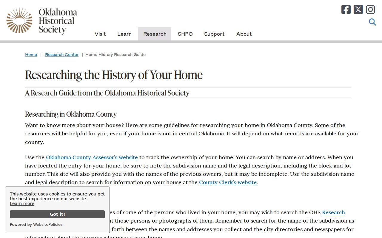
The OHS home-history guide ties a historical address to directories, Sanborn maps, newspapers, subdivision names, assessor legal descriptions, and the street index. It recommends working backward and forward across source types. That method is especially helpful where a remembered house name or street number does not match the deed's addition, lot, or block. A map can show a building footprint, material, outbuildings, street names, and fire-risk context, but not a resident list.
The OHS guide provides the source map for a careful Bethany address trail.
MLS reports Oklahoma City Sanborn access from 1894 through updates to 1955 with a library card, and OHS holds more than 3,000 Oklahoma-town Sanborn maps. No official Bethany-specific sheet and year inventory was found. Confirm the exact sheet before treating a map as evidence for a particular Bethany lot.
The OHS plat-map index includes Bethany among more than 3,400 entries. Its subdivision, addition, city, date, and land-description fields can connect a historical directory address to the legal terms used in a deed.
Bethany 1930 Tornado Lot Break
Bethany's November 19, 1930 tornado is a real breakpoint for house history. OHS reports 23 deaths and 652 buildings destroyed. National Weather Service material describes an F4 path with about 110 homes and 700 other buildings damaged or destroyed. A lot can therefore carry a pre-tornado directory entry, a rebuilt structure, and a later deed trail that all use related address information without referring to the same building.
Test that transition with period newspapers, plats, deeds, cemetery material, and directories published after the event. The Gateway to Oklahoma History portal is the documented route for digitized Bethany Tribune and Messenger material. Search by street, owner, subdivision, sale, fire, death, or civic event, then verify the page image and date.
No official source establishes a dedicated Bethany property-record reconstruction or a formal loss of every affected record series. Do not fill that gap with a guessed address conversion. Retain the lot and legal description, then document what each dated record says.
Bethany Previous Residents and Probate
Endpoint records can explain why a person vanishes from a property or directory trail. OHS holds Oklahoma County historical probate for 1890-1928, Oklahoman obituaries for 1972-2014, funeral-home records and programs for 1905-2020, and an Oklahoma City death index for 1908-1926. Current probate files belong with the Court Clerk, and availability or redactions can vary. An obituary, death index, funeral record, or estate file is a lead to compare with a later deed to heirs, not proof that a surviving relative is at a current address.
The OHS death-index search includes first and last name and can provide death details, family information, occupation, cemetery, and undertaker fields. The OHS genealogy service is the confirmed access route for the broader historical collections. When a permit or alteration record would date a building, Bethany Community Development uses Citizenserve for current applications, but no public address-wide result index was found. Request the address, date range, and record type from the city rather than assuming a portal search will reveal it.
Note: A former owner's mailing address, a directory line, or a probate contact should be labeled by its record date and never treated as a current location.